FLOODING and WATERSHED ANALYSIS
Union College
| HOME |
| General Info |
| Flood History |
| Jams and Dams |
| Schoharie River |
| Collins Pond |
| Media Matters |
Schoharie Creek: a major tributary to the Mohawk River |
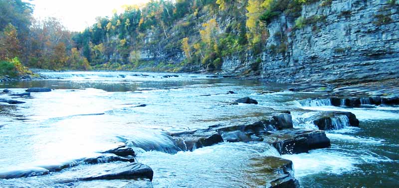
Schoharie Creek and West Canada Creek are the two principle tributaries of the Mohawk River. Schoharie Creek flows northward from of northern flanks of the Catskill mountains, while West Canada Creek flows south from the Adirondack mountains. It is not uncommon for one to be in flood stage, while the other is not. Both have had devastating historic floods, with the most notable being the 1996 mid-winter flood on the Schoharie, and the 1910 mid-winter flood on the West Canada. Schoharie Creek flows through the towns of Middleburg and Schoharie, so flooding is of interest to a number of people directly impacted by high water. The Schoharie Creek has two dams that impound water. The upper headwaters are dammed by the 120 foot high Gilboa Dam, which forms the Schoharie Reservoir, a NY City water supply that was put into service in 1926. In 2005 the dam had clear deficiencies, which initiated a long and costly process of renovation. An advocacy group called Dam Concerned Citizens has been active in a public information campaign and community awareness. The Schoharie River Center (SRC) is a not-for-profit organization dedicated to educational and cultural programming about the Schoharie Creek and the communities which make up the Schoharie River Valley. The Schoharie River Center, located in Burtonsville, NY is also active in a variety of community, historical and cultural programs and activities. Downstream from the Gilboa dam is the Blenheim-Gilboa Pumped Storage Power Project which is part of the NY power Authority, and it will be able to generate 1,160 megawatts when the ongoing modernization project is complete.
THESIS: KERN, AMANDA LINDSAY, Study of 20th century trends in stream flow for West Canada and Schoharie Creeks of the Mohawk-Hudson Rivers watershed. Department of Geology, Union College, Schenectady, New York, June 2008. (13 Mb PDF) Mean daily flow on the Schoharie Creek (compare two decades)
.
|
This document can be located from http://minerva.union.edu/garverj/mohawk/
© Environmental Science and Policy Program, Union College, Schenectady N.Y. 12308-3107. All rights reserved. No part of the document can be copied and/or redistributed, electronically or otherwise, without written permission from the Director of the Environmental Studies Program, Union College, Schenectady NY, 12308-2311, USA.
|
||